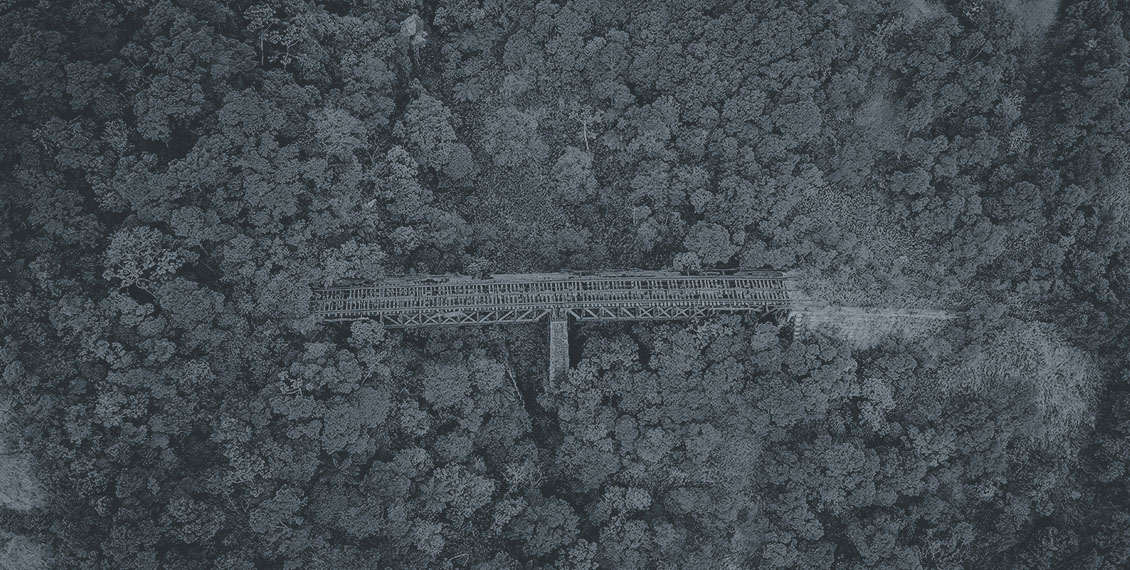
RAS Academy trains its participants on how to conduct a Land Survey or a Land Mapping using a drone which in turn offers enormous potential to GIS professionals or to those who are entering into this exciting field of very high professional and monetary potential. The participants will be able to carry out topographic surveys of the same quality as the highly accurate measurements collected by traditional methods but in less than half of the time.
Understanding land mapping the traditional way and now with drones. The country’s regulations & software that are used.
Understanding weather conditions that affect flight the preparations, learn about surveying accuracy and preparing your UAV for flight and the uses of GSP (Ground Station Points) and capturing of raw data.
Processing HDR images from a drone and understanding the use of the image processing software to generate, analyse and visualize aerial survey outputs – Orthomosaic, DSMs, 3D models and contours.
Practicals with hands on training on flight planning and image processing steps and certification.