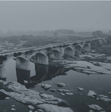
Maintenance plays a critical role in ensuring the safety, reliability, and long-term performance of infrastructure and engineering assets. At RPAS Aerial Solutions, we help organisations harness drone technology to make maintenance operations faster, safer, more accurate, and cost-effective.
Unmanned Aerial Vehicles (UAVs) are transforming conventional maintenance practices by enabling detailed aerial inspections and condition assessments of assets that are difficult, hazardous, or time-consuming to access. Drones can capture high-resolution visual, thermal, and other inspection data, allowing maintenance teams to identify defects, deterioration, damage, and potential issues at an early stage.
From telecom towers, power lines, solar farms, wind turbines, and industrial facilities to buildings, bridges, and other critical infrastructure, drone-enabled maintenance provides actionable data without always requiring scaffolding, cranes, rope access, or extensive shutdowns. This helps organisations reduce inspection and maintenance costs while improving turnaround times and minimising operational disruption.
By integrating drone-based data collection into regular maintenance programmes, organisations can move from reactive maintenance towards a more proactive and predictive approach. RPAS Aerial Solutions enables clients to monitor asset conditions over time, document maintenance requirements, prioritise interventions, and make informed decisions that extend asset life and improve operational efficiency.
Drone technology is redefining maintenance by making it safer, smarter, faster, and more data-driven.
Traditional Methods
▪️Engineering projects are filled with hazards ▪️Safety of man and machine are always at a risk for damage and injury ▪️A lot of time is wasted as it is labour intensive majority of the time ▪️Data capture may not be very accurate and many times needs to be re-evaluated ▪️Post processing of data is also a long and expensive ▪️Operating costs are very high as expertise is difficult to get
Benefits of Using Drones
- Aerial Inspection & Mapping: Conduct faster, safer and more detailed inspections and surveys across large or complex sites.
- Thermal & Thermographic Imaging: Identify heat anomalies, energy loss and potential faults in solar farms and other renewable-energy assets.
- Leak & Defect Detection: Detect potential leaks, structural defects, damaged components and other visible anomalies without extensive manual inspection.
- LiDAR Mapping: Capture high-precision terrain and spatial data for complex sites, infrastructure and large-scale engineering projects.
- Accurate Data Collection: Collect precise, consistent and flexible aerial data for surveying, monitoring and analysis.
- Digital Project Monitoring: Create time-stamped digital records to track project progress, compare stages and maintain a reliable visual history.
- 2D & 3D Modelling: Transform aerial survey data into detailed 2D maps, 3D models and digital representations of surveyed areas.
- Large-Area Coverage: Survey and monitor vast areas efficiently, reducing the time and manpower required for conventional ground-based methods.